
Remote Sensing In Agriculture: A technique that will help you make informed decisions in seconds
Remote sensing gathers information without physical contact, using machines like satellites and sensors. It optimizes agriculture by monitoring climate, soil, and crop conditions, replacing human observation. Benefits include continuous data collection, uniform interpretation, real-time sharing, accurate decisions, and structured records. It enhances climate monitoring, nutrition, irrigation, pest management, and crop inspection.
Published on 14 June 2023
You may be asking: “What is it?”
It is basically the acquisition of information about an object or phenomenon without making physical contact with the object, in contrast to on-site observation. When you look at its history, the term was coined by Evelyn Pruitt of the US Naval Research in the 1950s. The synonym was later adopted widely by astronomers for acquiring information about the Earth and other planets. More important than its history, as its definition suggests, it has so many advantages! We will come to that.
“So, what does Remote Sensing have to do with Agriculture?”
We use remote sensing for acquiring or monitoring important parameters, such as climatic conditions, soil quality, and crop status via cloud-connected sensors to make informed decisions on activities like fertilization, spraying, irrigation, and harvesting. These decisions are crucial for total yield and ultimately your profits!
There are five key activities in agriculture that have a direct impact on any given crop’s yield and quality:
- climate monitoring,
- nutrition management,
- irrigation management,
- pest management,
- crop inspection, which have been executed via conventional methods, namely human observation, since the invention of agriculture.
Remote sensing technology basically replaces humans with machines. Most commonly used machines in remote sensing are satellites, climate stations, digital pest traps, and NIRS scanners.
“Why would humans need to be replaced by machines?”
This is the part where things get interesting. Machines are a lot more advantageous than humans when it comes to making informed decisions and collecting that information in particular, from several perspectives:
- Data Collection: Humans can collect only a fraction of available data for a snapshot moment due to their limited observation capability. Whereas machines can collect continuous data from the entire area to be observed.
- Data Interpretation: Humans’ interpretation relies heavily on experience and the amount of observed data hence making interpretation extremely varies from person to person. In contrast, machines interpret data via task-specific algorithms that result in uniform and reliable interpretation.
- Data Sharing: Machines can submit data in real-time or near real-time with all required stakeholders whereas humans share data in a delayed manner and humans are also limited to inefficient ways of communication (verbal and written). An additional inefficiency is caused by data sharing parties’ articulation and by data receiving parties’ understanding skills.
- Decision Process: Human decisions are usually based on missing or falsely interpreted information and are subject to the decision maker’s experience. Machine decisions are derived from multidimensional complete time-series data.
- Record-Keeping: Most humans have an unstructured way of keeping records, namely previous agricultural seasons data is transformed into experience. Machines can keep records in easily accessible structured formats.
As mentioned above, all decisions in activities like climate monitoring, nutrition management, irrigation management, pest management, and crop inspection can be enhanced via remote sensing.
- Climate Monitoring: You can monitor climate parameters in your area such as temperature, humidity, soil moisture, soil temperature, wind speed & direction, precipitation, and solar radiation hourly via IoT Sensor Stations. Based on climate data, you can be notified of frosts, heat waves, and heavy rains which may cause flooding.
- Nutrition Management: You can analyze soil in your farming field within a matter of minutes via NIRS scanners. Field and crop-specific fertilization programs can be developed based on NIRS data via algorithms.
- Irrigation Management: You can easily monitor soil moisture levels via IoT Probes. Furthermore, soil moisture data can be enhanced with precipitation data to calculate the exact amount of irrigation requirement for any type of crop.
- Pest Management: Insects are one of the key problems in agriculture and spraying timing is crucial for high-quality products without chemical residue. Digital Pest Traps enable you to daily monitor insect levels on your farming field to determine the correct spraying time to ensure crop quality without chemical residue.
- Crop Inspection: Crop inspection by humans is an expensive and inefficient task where a human cannot inspect every single crop, every day but satellites and/or drones can. Surveillance by machines backed by AI algorithms helps you to geolocate chronic and/or acute problems within your farming field and/or orchard and to take corrective actions like spraying, irrigation, or various cultural activities.
- Crop Classification: Each crop has almost a unique way to develop its biomass throughout the phenological life cycle. By converting weekly satellite images into time-series data, you can differentiate crops and calculate the total plantation area in a target region, country, and continent.
- Crop Insurance Claim Handling: Crop damages are assessed by humans. Claim handling process for damages like flood, fire, drought, and frost can be automated by remote sensing without dispatching any investigators.
The value of remote sensing in agriculture has started to unveil within the last few years that is making remote sensing still an emerging technology. In the upcoming five years, we will witness remote sensing to become the backbone of strategic and tactical decisions in agriculture.
Don’t miss the advancement! Be a part of the future developments in agriculture from today. It is time to integrate one of the oldest activities in human history with technology and its countless advantages! Check out Orbit Scouting & Crop Health for more on advanced monitoring techniques that will boost your profits!
For those interested in exploring how Doktar's innovative solutions can transform your agricultural practices, visit our website for detailed information on all our products. Stay updated with the latest developments by following us on Instagram and LinkedIn, where we share insights, tips, and updates about our technologies and their impact on modern farming.

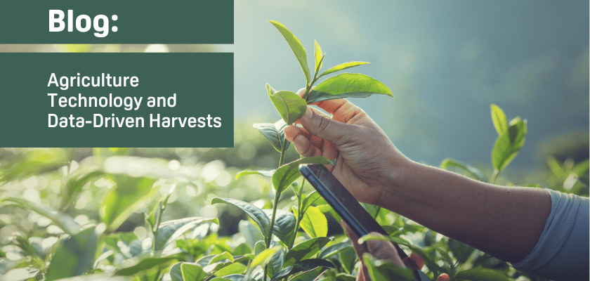
Agriculture Technology and Data-Driven Harvests
The convergence of agriculture technology and data-driven solutions represents the next frontier of innovation in farming. With companies like Doktar leading the way, farmers can leverage these advancements to improve productivity, reduce environmental impact, and secure a more sustainable future for agriculture. Whether through precision agriculture, sustainable agriculture, or cutting-edge smart agriculture technology, the future of farming is bright, and data is at the heart of this transformation. Technology's positive impact on this future should inspire and motivate us all.

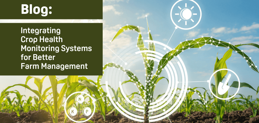
Integrating Crop Health Monitoring Systems for Better Farm Management
Crop health monitoring systems revolutionize modern agriculture by enabling real-time insights into plant health, reducing losses, and promoting sustainability. Tools like Doktar’s CropMap and Orbit integrate advanced technologies, empowering farmers with data-driven decisions. By enhancing efficiency and sustainability, these systems are essential for future-proofing agricultural operations.

Modern Agriculture: Innovative Solutions to Combat Global Food Insecurity
Modern agriculture combats global food insecurity with precision agriculture, sustainable practices, and biotechnology. Tools like IoT, automation, and crop innovations optimize resource use, enhance resilience, and ensure stable food supplies. By integrating smart technologies, agribusinesses address challenges like climate change and resource scarcity, paving the way for a sustainable food future.
