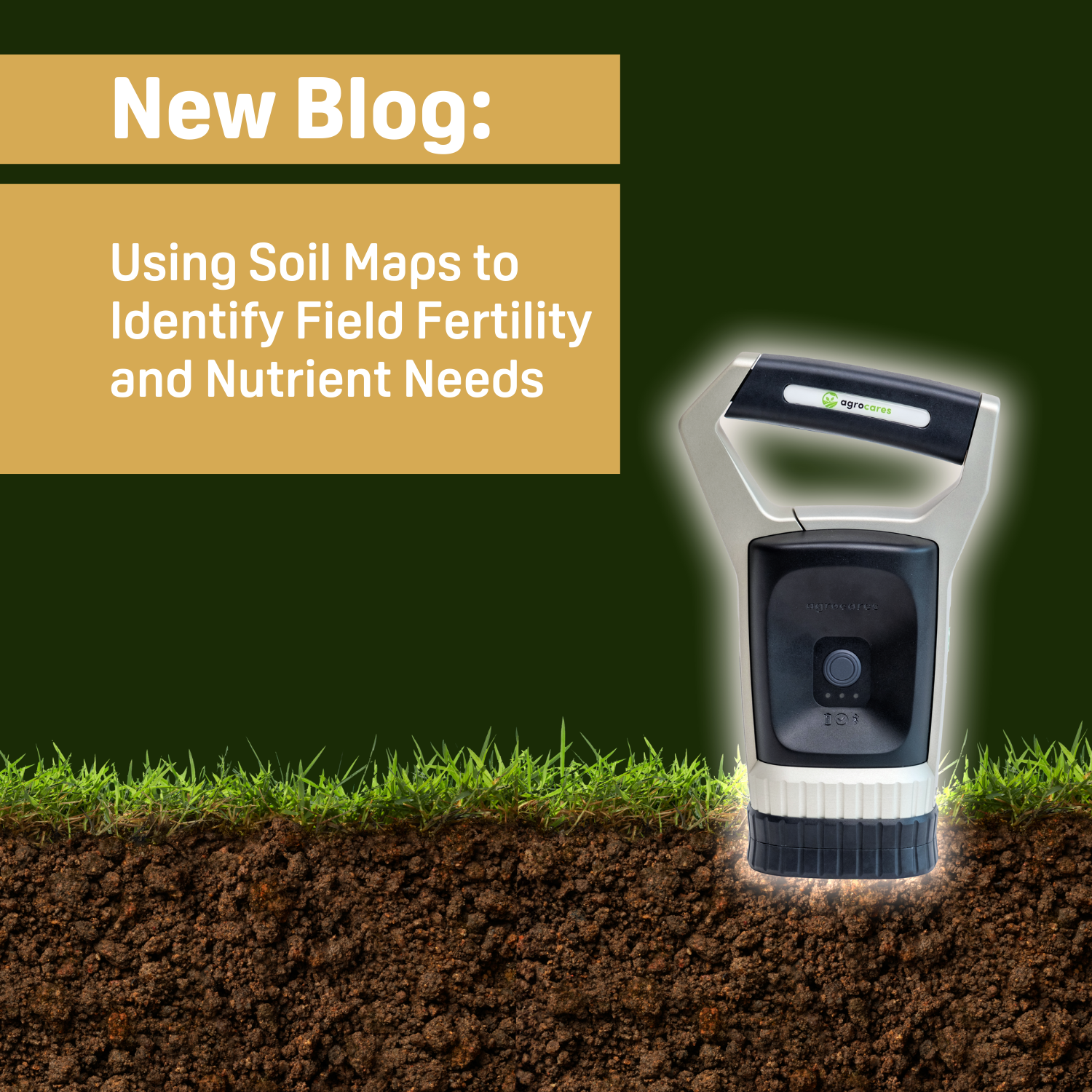

Using Soil Maps to Identify Field Fertility and Nutrient Needs
Soil maps revolutionize agriculture by providing detailed insights into soil fertility, pH levels, and nutrient needs. Tools like Doktar’s SoilScanner and Orbit empower farmers to optimize resources, improve yields, and enhance sustainability. By integrating GIS, remote sensing, and real-time data, soil maps support precision farming, long-term productivity, and environmental stewardship.
Published on 08 January 2025
Using Soil Maps to Identify Field Fertility and Nutrient Needs
Understanding Soil Maps: Basics and Benefits
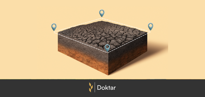
Soil maps are comprehensive tools that illustrate the spatial distribution of soil types and their characteristics across a field or region. These maps combine data from geographic information systems (GIS), soil science, and remote sensing technologies to offer detailed insights into field conditions. Soil maps typically include soil fertility, pH levels, organic matter content, and nutrient availability.
One of the primary benefits of soil maps is their ability to enhance precision agriculture tools. Farmers can use these maps to identify variations in soil quality across various zones, allowing for targeted interventions such as fertilizer application or irrigation. This method minimizes waste, increases crop yields, and reduces environmental impact, a crucial aspect of responsible farming. Furthermore, soil maps contribute to achieving long-term sustainability goals by promoting soil regeneration and maintaining optimal levels of soil organic matter. For agribusinesses focused on field productivity, soil maps offer actionable insights that complement modern crop management software solutions.
Analyzing Soil Fertility Using Soil Maps
Soil fertility forms the basis of agricultural productivity, and soil maps are essential for assessing it. Farmers can identify areas lacking key nutrients such as nitrogen, phosphorus, and potassium by combining soil nutrient tests with advanced mapping techniques. Knowing these nutrient levels is vital for evaluating the soil’s suitability for crops and planning suitable soil amendments.
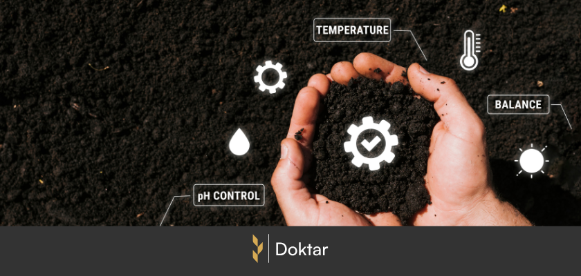
For instance, high-resolution soil maps provide vital information, such as soil moisture and temperature variations, directly impacting nutrient availability and plant growth. Farmers can make informed decisions regarding soil fertility management and optimize nutrient uptake for specific crops by understanding these factors. By incorporating digital soil maps into smart agriculture solutions, agribusinesses can monitor soil health in real time, ensuring that crops receive the nutrients they require for optimal productivity.
Matching Crop Nutrient Needs with Soil Conditions
Crop nutrient requirements must be compatible with soil conditions to achieve optimal yields. Soil maps simplify this process by offering a detailed breakdown of pH levels, organic matter content, and other factors influencing plant growth. By utilizing this data, farmers can align their crop selection and planting strategies with the unique characteristics of their fields.
Crops with high nitrogen demands, such as corn and wheat, require soils rich in organic matter and moisture. Soil maps can help identify areas where these conditions are present, reducing the need for excessive fertilizers or water. Similarly, crops sensitive to soil pH, like blueberries, can benefit from targeted soil treatments to create a favorable environment for growth. By aligning crop plans with soil conditions, farmers can enhance field productivity while minimizing resource input costs.
Moreover, advanced agricultural remote sensing enhances soil maps by supplying satellite or drone imagery that reveals changes in soil and crop health. This integrated approach ensures that farmers remain responsive to shifting field conditions, supports sustainable farming practices, and preserves crop productivity.
Tools and Technologies for Soil Mapping
Accurate soil maps require a combination of advanced technologies and methods. Digital soil tests provide baseline data on soil characteristics, while remote sensing and GIS tools improve spatial analysis. Sensors, such as soil moisture sensors and temperature data loggers, are crucial in capturing real-time data, which is then processed to create helpful soil maps.
The addition of crop management software further enhances soil maps' value. These systems allow farmers to track inputs, monitor crop performance, and align strategies with long-term sustainability goals. As digital agriculture develops, soil mapping technologies will remain at the forefront of enhancing field tech productivity and ensuring sustainable food production.
Agribusinesses can seamlessly integrate these technologies using platforms like Doktar’s smart agriculture solutions. Doktar’s tools provide users access to customized soil maps that consider local conditions, historical data, and predictive analytics. These maps enable farmers to tackle specific challenges, such as identifying areas susceptible to erosion or ensuring effective soil fertility management.
Doktar’s Smart Agriculture Tools for Soil Mapping and Management
To address the complexities of modern agriculture, agribusinesses require tools beyond fundamental field analysis to deliver deep, actionable insights. This is where Doktar excels, offering a suite of smart agriculture solutions specifically tailored to improve soil health, fertility, and overall field productivity. With cutting-edge technologies like SoilScanner and the Orbit Field Scouting App, Doktar empowers farmers to unlock the full potential of their fields. These tools integrate advanced analytics, real-time data collection, and predictive modeling, allowing users to make informed decisions that enhance both short-term yields and long-term sustainability.
Agribusinesses can optimize their practices by integrating technologies offered through Doktar’s smart agriculture solutions. These tools provide precise and actionable insights for improving soil health, fertility, and crop productivity.
1. SoilScanner
SoilScanner is Doktar’s flagship tool for soil mapping and analysis. It provides highly accurate data on soil composition, including nutrient levels, organic matter, pH, moisture, and temperature. Farmers can use this data to address specific challenges, such as nutrient deficiencies or salinity issues, ensuring effective soil fertility management.
2. Filiz Agricultural Sensor Station
Filiz monitors critical soil and environmental parameters, such as soil moisture, temperature, and humidity. The station collects real-time data that complements SoilScanner’s outputs. Together, they provide a comprehensive picture of soil conditions, enabling precise irrigation and nutrient application.
3. Orbit Field Scouting App
Orbit combines satellite imagery, NDVI data, and advanced analytics to monitor crop health and optimize field management. One of its standout features is the Variable Rate Application (VRA), which allows farmers to divide fields into distinct productivity zones.
By integrating SoilScanner’s data, Orbit provides targeted recommendations for resource allocation, such as applying fertilizers or water precisely where needed. This ensures cost savings and supports environmental sustainability goals. With VRA, farmers can make the most of their fields by treating each zone according to its specific requirements.
4. CropMap
CropMap leverages machine learning and satellite imagery to monitor crop growth and soil health. CropMap ensures that both historical and real-time data back decisions for maximum effectiveness.
5. PestTrap
PestTrap monitors pest populations and plays a complementary role in soil health management by identifying pest activities linked to poor soil conditions. By layering pest data with SoilScanner maps, farmers can address underlying soil issues that may exacerbate pest infestations.
Frequently Asked Questions
What are soil maps, and how are they created?
Soil maps visually represent different soil types and their characteristics, providing essential data for agricultural decision-making. They are produced using geographic information systems (GIS), remote sensing, and soil sampling techniques. These tools gather data on various parameters such as soil organic matter, pH levels, and moisture content. The collected data is then analyzed and processed into detailed maps highlighting variations across a field. This process involves thorough data collection and analysis, ensuring the reliability and accuracy of the soil maps. Soil maps are invaluable for understanding soil conditions and planning targeted interventions.
How often should farmers update their soil maps?
Farmers should update their soil maps as frequently as possible or after significant field changes, such as major crop rotations or extreme weather events. Regular updates ensure the maps reflect current conditions, allowing for accurate soil fertility management. Additionally, integrating real-time data from soil sensors in agriculture can provide ongoing insights, enabling farmers to adapt quickly to seasonal changes or unexpected challenges.
What role does soil pH play in crop nutrition?
Soil pH is a critical factor in determining the availability of nutrients for crops. It influences the chemical reactions occurring in the soil, affecting the solubility and accessibility of nutrients. For instance, acidic soils (low pH) may limit the uptake of essential nutrients like phosphorus. Conversely, alkaline soils (high pH) can diminish the availability of micronutrients such as iron and zinc. Monitoring and managing pH levels with soil maps ensures that crops receive optimal nutrition, promoting healthy growth and higher yields. Targeted soil treatments, such as lime for acidity or sulfur for alkalinity, can effectively adjust pH levels.
Can soil maps help reduce fertilizer costs?
Yes, soil maps are very effective in lowering fertilizer costs. By identifying nutrient deficiencies and variations throughout a field, farmers can apply fertilizers precisely where needed, preventing wasteful over-application. This targeted approach reduces input costs and lessens environmental impact by decreasing nutrient runoff. With advanced tools like digital soil maps, farmers can develop efficient fertilization strategies, boosting crop productivity and sustainability. The cost savings from reduced fertilizer use can significantly affect a farm's bottom line, making soil maps a worthwhile investment for any agricultural operation.
Conclusion
Soil maps transform modern agriculture by offering detailed insights into soil conditions and nutrient requirements. They allow farmers to optimize resource usage, minimize environmental impact, and enhance crop yields. By incorporating tools like Doktar’s soil mapping solutions into their processes, agribusinesses can achieve improved efficiency and sustainability. As the agricultural sector adopts digital transformation, soil maps will remain a fundamental part of innovative farming strategies, ensuring long-term productivity and environmental stewardship.
Agriculture Technology and Data-Driven Harvests
The convergence of agriculture technology and data-driven solutions represents the next frontier of innovation in farming. With companies like Doktar leading the way, farmers can leverage these advancements to improve productivity, reduce environmental impact, and secure a more sustainable future for agriculture. Whether through precision agriculture, sustainable agriculture, or cutting-edge smart agriculture technology, the future of farming is bright, and data is at the heart of this transformation. Technology's positive impact on this future should inspire and motivate us all.
Integrating Crop Health Monitoring Systems for Better Farm Management
Crop health monitoring systems revolutionize modern agriculture by enabling real-time insights into plant health, reducing losses, and promoting sustainability. Tools like Doktar’s CropMap and Orbit integrate advanced technologies, empowering farmers with data-driven decisions. By enhancing efficiency and sustainability, these systems are essential for future-proofing agricultural operations.
Modern Agriculture: Innovative Solutions to Combat Global Food Insecurity
Modern agriculture combats global food insecurity with precision agriculture, sustainable practices, and biotechnology. Tools like IoT, automation, and crop innovations optimize resource use, enhance resilience, and ensure stable food supplies. By integrating smart technologies, agribusinesses address challenges like climate change and resource scarcity, paving the way for a sustainable food future.
